


Resources Image Gallery
The images found in this gallery are found throughout the pages on this website related to resources of the oil sands region.
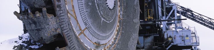
 Cutblocks. Source: Government of Alberta. ( click to enlarge ) |
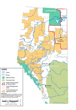 This map shows the areas of Alberta covered by Forest Management Units and Agreements. Source: Government of Alberta. ( click to enlarge ) |
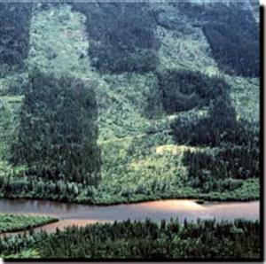
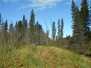
 Forests of the lower Athabasca region. Source: Hatfield Consultants ( click to enlarge ) |
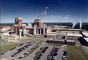 The Al-Pac pulp and paper mill near Boyle, Alberta. Source: Alberta-Pacific Forest Industries Inc. ( click to enlarge ) |
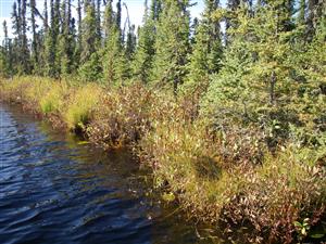
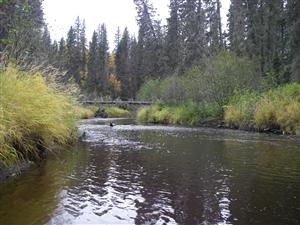 Source: Hatfield Consultants ( click to enlarge ) |
 Source: Hatfield Consultants. ( click to enlarge ) |
 Source: Diane Eastman ( click to enlarge ) |
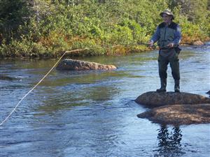
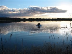 Evening fisherman. Source: Hatfield Consultants ( click to enlarge ) |
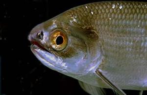 A goldeye (Hiodon alosoides). Source: Royal Alberta Museum ( click to enlarge ) |
 Fishing on the Athabasca River. Source: Nexen ( click to enlarge ) |
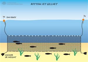 This figure illustrates how a gillnet is used to capture fish. Source: Australian Fisheries Management Authority ( click to enlarge ) |
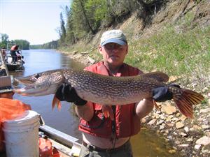 A large pike caught on the Athabasca River. Source: Nexen ( click to enlarge ) |
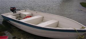 Fishing boat Source: Tim Abercrombie ( click to enlarge ) |
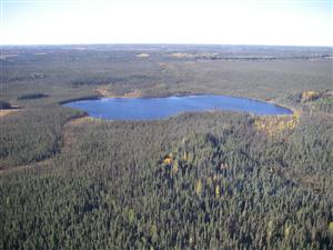 Small lake in the boreal region. Source: Hatfield Consultants ( click to enlarge ) |
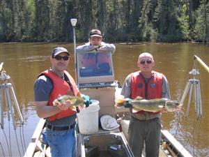
 Fish sampling on the Athabasca River. Source: Keith 2007 ( click to enlarge ) |
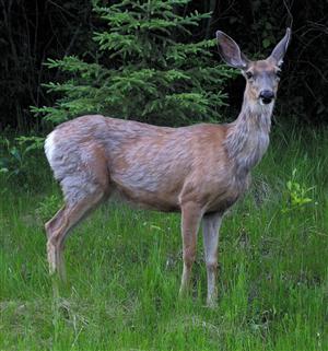 Deer. Source: Jason Baird ( click to enlarge ) |
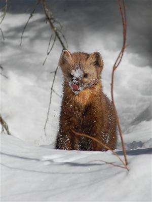 Marten. Source: Shannon Barker ( click to enlarge ) |
C~Eastmanjpg.300.-1.1719332565.jpg) Moose. Source: Cayla Eastman ( click to enlarge ) |
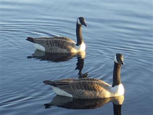 Canada Geese Source: Jeff Winsor ( click to enlarge ) |
C~Eastmanjpg.300.-1.-1067449202.jpg) Hunter and bull moose. Source: Cayla Eastman. ( click to enlarge ) |