


Geography of the Athabasca River Basin
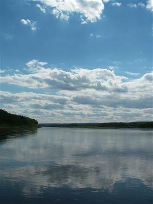
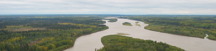
The Athabasca River is Alberta's longest river, flowing from its source in the Rocky Mountains to the Peace-Athabasca Delta and Lake Athabasca. The Athabasca River is part of the great Mackenzie River system, and its waters eventually flow into the Arctic Ocean after a journey of over 4,000 kilometres.
The diverse landscapes, geological features, water systems, ecological communities, and resources—including the oil sands—of the Athabasca River basin have been shaped by geologic activity over hundreds of millions of years. This section explores the geographical features of the Athabasca River basin in the following sections:
- The Athabasca River basin landscape
- Geology of the Athabasca River basin
- Lake Athabasca and the Peace-Athabasca Delta
- The Mackenzie River basin