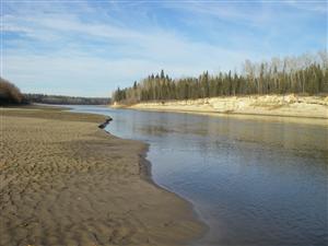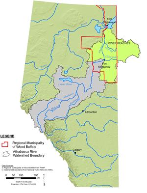


Athabasca River: Lower Reaches
The lower reaches of the Athabasca River begin at Fort McMurray, where the river is joined by the Clearwater River. The Clearwater River originates in Broach Lake in northern Saskatchewan and flows into Alberta, where it is joined by the Christina River, a major tributary with extensive oil and gas development within its drainage basin. Flowing north from Fort McMurray, the Athabasca River is joined by several smaller tributaries, including the Steepbank, Muskeg, and Firebag rivers flowing from the east and the MacKay and Ells rivers from the west.
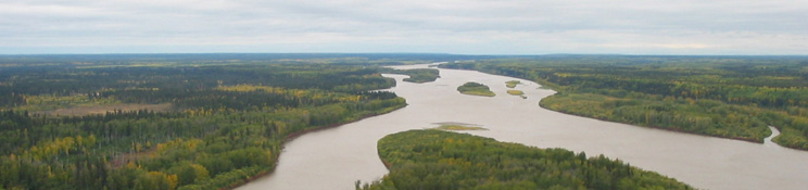
The Athabasca River forms the eastern boundary of Wood Buffalo National Park, where the landscape is dominated by wetlands, meadows, and black spruce forest. The Athabasca River flows into Lake Athabasca through a system of channels—including the Embarras River, Fletcher Channel, Goose Island Channel, and Big Point Channel—that extends through the delta (Prepas and Mitchell 1990). The Athabasca River accounts for the largest proportion of inflowing water to Lake Athabasca, contributing an estimated 80% to 90% of the lake’s outflowing water during spring and summer peak flows (Prepas and Mitchell 1990).