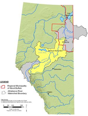


Athabasca River: Middle Reaches
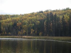
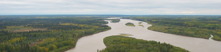
After leaving the mountains, the Athabasca River flows through rolling foothills, dominated by trembling aspen, balsam poplar, lodgepole pine, and white and black spruce, and into the boreal forest region. The middle portion of the basin supports numerous industrial developments, including forestry and pulpmills, open pit coal mines, and limestone quarries as well as agricultural areas (NRBS 2002). Three major tributaries flow into the middle reaches of the Athabasca River, including:
- The McLeod River, the first major tributary of the Athabasca. The McLeod River joins the Athabasca near the town of Whitecourt.
- The Pembina River, which flows through the deep Pembina River Gorge. This river has a length of 547 km and a drainage basin area of 12,900 km2.
- The Lesser Slave River. The Lesser Slave River flows into and out of Lesser Slave Lake before its confluence with the Athabasca River 61 km to the east. The Lesser Slave Lake is the second largest lake in Alberta and an important waterfowl breeding and migration area.